Bond Street, Wolverhampton
Introduction
The photograph on this page of Bond Street, Wolverhampton by Richard Vince as part of the Geograph project.
The Geograph project started in 2005 with the aim of publishing, organising and preserving representative images for every square kilometre of Great Britain, Ireland and the Isle of Man.

There are currently over 7.5m images from over 14,400 individuals and you can help contribute to the project by visiting https://www.geograph.org.uk
Bond Street, Wolverhampton
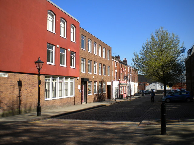
Image: © Richard Vince Taken: 4 Jun 2013
Looking north from St John's Square towards Temple Street. Bond Street is almost entirely lined with offices, the major exception being the Greyhound (centre), a strangely isolated (but apparently still active) pub.
Images are licensed for reuse under creativecommons.org/licenses/by-sa/2.0
Image Location
Latitude
52.581811
Longitude
-2.128353