Bethlehem Baptist Chapel information board, Clydach
Introduction
The photograph on this page of Bethlehem Baptist Chapel information board, Clydach by Jaggery as part of the Geograph project.
The Geograph project started in 2005 with the aim of publishing, organising and preserving representative images for every square kilometre of Great Britain, Ireland and the Isle of Man.

There are currently over 7.5m images from over 14,400 individuals and you can help contribute to the project by visiting https://www.geograph.org.uk
Bethlehem Baptist Chapel information board, Clydach
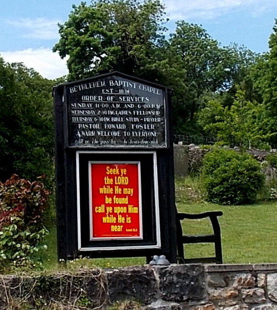
Image: © Jaggery Taken: 7 Jun 2013
Located here, http://www.geograph.org.uk/photo/3508393 the board shows that the chapel was established in 1830.
Images are licensed for reuse under creativecommons.org/licenses/by-sa/2.0
Image Location
Latitude
51.818868
Longitude
-3.116621