Marsh, West Banchory
Introduction
The photograph on this page of Marsh, West Banchory by Richard Webb as part of the Geograph project.
The Geograph project started in 2005 with the aim of publishing, organising and preserving representative images for every square kilometre of Great Britain, Ireland and the Isle of Man.

There are currently over 7.5m images from over 14,400 individuals and you can help contribute to the project by visiting https://www.geograph.org.uk
Marsh, West Banchory
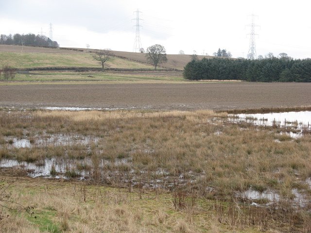
Image: © Richard Webb Taken: 24 Feb 2007
Area of wetland with a lot of Blackheaded Gulls. Looking at the map, it appears that this was once an ox-bow lake and former meander of the River Isla.
Images are licensed for reuse under creativecommons.org/licenses/by-sa/2.0
Image Location
Latitude
56.546819
Longitude
-3.3239