John Street, Newtownards
Introduction
The photograph on this page of John Street, Newtownards by Albert Bridge as part of the Geograph project.
The Geograph project started in 2005 with the aim of publishing, organising and preserving representative images for every square kilometre of Great Britain, Ireland and the Isle of Man.

There are currently over 7.5m images from over 14,400 individuals and you can help contribute to the project by visiting https://www.geograph.org.uk
John Street, Newtownards
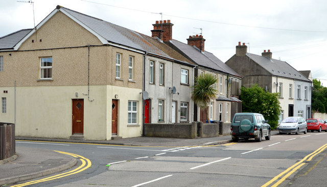
Image: © Albert Bridge Taken: 12 Jun 2013
Houses, of various ages and designs, at John Street, seen from Donard Avenue. Image shows the other end of the street.
Images are licensed for reuse under creativecommons.org/licenses/by-sa/2.0
Image Location
Latitude
54.591442
Longitude
-5.70385