Holderness Road, Kingston upon Hull
Introduction
The photograph on this page of Holderness Road, Kingston upon Hull by Bernard Sharp as part of the Geograph project.
The Geograph project started in 2005 with the aim of publishing, organising and preserving representative images for every square kilometre of Great Britain, Ireland and the Isle of Man.

There are currently over 7.5m images from over 14,400 individuals and you can help contribute to the project by visiting https://www.geograph.org.uk
Holderness Road, Kingston upon Hull
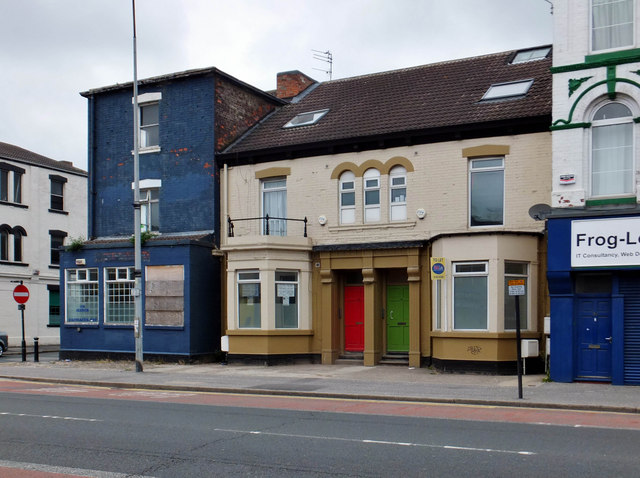
Image: © Bernard Sharp Taken: 8 Jun 2013
Nos.31 & 33 Holderness Road, two town houses, mid-19th century, with single bay windows and triple round headed windows. Remains of ironwork gallery above first floor bay of No.31. Now flats. See also: Image
Images are licensed for reuse under creativecommons.org/licenses/by-sa/2.0
Image Location
Latitude
53.74982
Longitude
-0.320433