Location of Huddersfield Improvement Act boundary stone, New North Road
Introduction
The photograph on this page of Location of Huddersfield Improvement Act boundary stone, New North Road by Humphrey Bolton as part of the Geograph project.
The Geograph project started in 2005 with the aim of publishing, organising and preserving representative images for every square kilometre of Great Britain, Ireland and the Isle of Man.

There are currently over 7.5m images from over 14,400 individuals and you can help contribute to the project by visiting https://www.geograph.org.uk
Location of Huddersfield Improvement Act boundary stone, New North Road
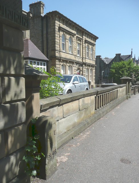
Image: © Humphrey Bolton Taken: 6 Jun 2013
See Image and also Image and Image The house is Grade II listed.
Images are licensed for reuse under creativecommons.org/licenses/by-sa/2.0
Image Location
Latitude
53.652654
Longitude
-1.79526