Wistaston Westfield Infant School
Introduction
The photograph on this page of Wistaston Westfield Infant School by Espresso Addict as part of the Geograph project.
The Geograph project started in 2005 with the aim of publishing, organising and preserving representative images for every square kilometre of Great Britain, Ireland and the Isle of Man.

There are currently over 7.5m images from over 14,400 individuals and you can help contribute to the project by visiting https://www.geograph.org.uk
Wistaston Westfield Infant School
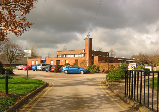
Image: © Espresso Addict Taken: 1 Mar 2007
Located off Church Lane towards the north of the village of Wistaston, the modern buildings of the infants school stand behind the much older building of Image
Images are licensed for reuse under creativecommons.org/licenses/by-sa/2.0
Image Location
Latitude
53.080911
Longitude
-2.478115