Oakenhill Bridge as seen from down stream
Introduction
The photograph on this page of Oakenhill Bridge as seen from down stream by Roger A Smith as part of the Geograph project.
The Geograph project started in 2005 with the aim of publishing, organising and preserving representative images for every square kilometre of Great Britain, Ireland and the Isle of Man.

There are currently over 7.5m images from over 14,400 individuals and you can help contribute to the project by visiting https://www.geograph.org.uk
Oakenhill Bridge as seen from down stream
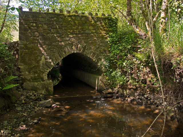
Image: © Roger A Smith Taken: 2 Jun 2013
The stream under this bridge runs to Langham Lake near Chapelton.
Images are licensed for reuse under creativecommons.org/licenses/by-sa/2.0
Image Location
Latitude
50.981717
Longitude
-4.051202