Harvey Well
Introduction
The photograph on this page of Harvey Well by Anne Burgess as part of the Geograph project.
The Geograph project started in 2005 with the aim of publishing, organising and preserving representative images for every square kilometre of Great Britain, Ireland and the Isle of Man.

There are currently over 7.5m images from over 14,400 individuals and you can help contribute to the project by visiting https://www.geograph.org.uk
Harvey Well
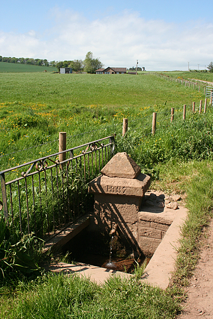
Image: © Anne Burgess Taken: 6 Jun 2013
The name is carved into the sandstone plinth, with the date 1887. It was the coldest of the six wells in the village, and the women of the village used to gather here to make butter. It stands beside the track to Nether Kinmonth.
Images are licensed for reuse under creativecommons.org/licenses/by-sa/2.0
Image Location
Latitude
56.919986
Longitude
-2.355436