Whitehill Wood
Introduction
The photograph on this page of Whitehill Wood by Anne Burgess as part of the Geograph project.
The Geograph project started in 2005 with the aim of publishing, organising and preserving representative images for every square kilometre of Great Britain, Ireland and the Isle of Man.

There are currently over 7.5m images from over 14,400 individuals and you can help contribute to the project by visiting https://www.geograph.org.uk
Whitehill Wood
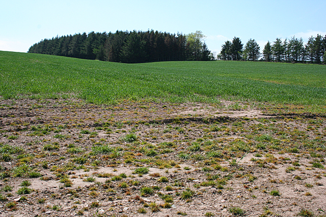
Image: © Anne Burgess Taken: 6 Jun 2013
The landform here can easily be seen on the map, shown as a kink in the contours.
Images are licensed for reuse under creativecommons.org/licenses/by-sa/2.0
Image Location
Latitude
56.92763
Longitude
-2.352387