Hidden Burn
Introduction
The photograph on this page of Hidden Burn by Anne Burgess as part of the Geograph project.
The Geograph project started in 2005 with the aim of publishing, organising and preserving representative images for every square kilometre of Great Britain, Ireland and the Isle of Man.

There are currently over 7.5m images from over 14,400 individuals and you can help contribute to the project by visiting https://www.geograph.org.uk
Hidden Burn
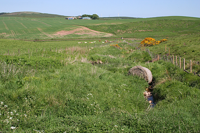
Image: © Anne Burgess Taken: 6 Jun 2013
Well, almost hidden among the vegetation. It is unnamed. I would be interested to know where the bale rolled down from! The distant farm is Pitdrichie.
Images are licensed for reuse under creativecommons.org/licenses/by-sa/2.0
Image Location
Latitude
56.931226
Longitude
-2.351435