Oxbow on the River Carron
Introduction
The photograph on this page of Oxbow on the River Carron by Anne Burgess as part of the Geograph project.
The Geograph project started in 2005 with the aim of publishing, organising and preserving representative images for every square kilometre of Great Britain, Ireland and the Isle of Man.

There are currently over 7.5m images from over 14,400 individuals and you can help contribute to the project by visiting https://www.geograph.org.uk
Oxbow on the River Carron
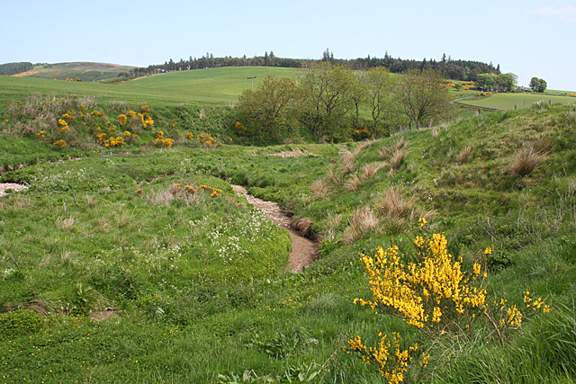
Image: © Anne Burgess Taken: 6 Jun 2013
The dry channel at right of centre is an oxbow - a meander of the river that has become separated from the main flow by silting.
Images are licensed for reuse under creativecommons.org/licenses/by-sa/2.0
Image Location
Latitude
56.941189
Longitude
-2.354651