McClelland Park. Edward Street, Newry
Introduction
The photograph on this page of McClelland Park. Edward Street, Newry by Eric Jones as part of the Geograph project.
The Geograph project started in 2005 with the aim of publishing, organising and preserving representative images for every square kilometre of Great Britain, Ireland and the Isle of Man.

There are currently over 7.5m images from over 14,400 individuals and you can help contribute to the project by visiting https://www.geograph.org.uk
McClelland Park. Edward Street, Newry
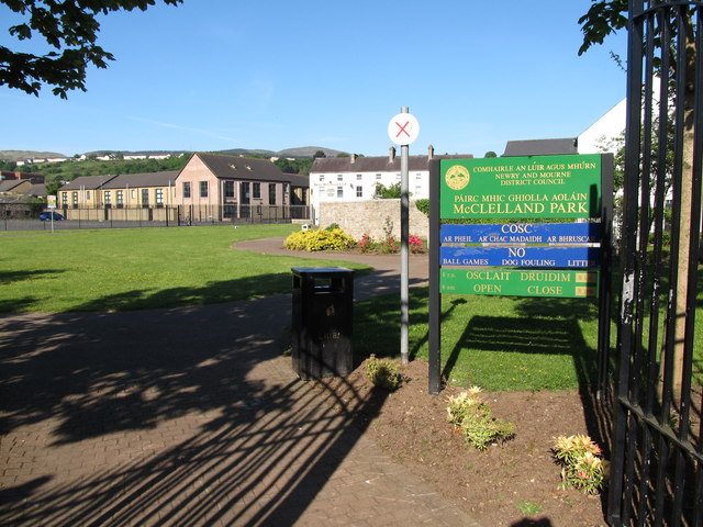
Image: © Eric Jones Taken: 7 Jun 2013
This park is used as a venue for outdoor concerts. It was previously the site of the Cory Square RUC Barracks. The station was mortared by the IRA in February 1985 resulting in the death of nine officers and the injuring of many more. http://www.newry.ie/news/latest-news/3164-30th-anniversary-of-corry-square-mortar-attack
Images are licensed for reuse under creativecommons.org/licenses/by-sa/2.0
Image Location
Latitude
54.17815
Longitude
-6.341656