Clock House Crossing
Introduction
The photograph on this page of Clock House Crossing by Penny Mayes as part of the Geograph project.
The Geograph project started in 2005 with the aim of publishing, organising and preserving representative images for every square kilometre of Great Britain, Ireland and the Isle of Man.

There are currently over 7.5m images from over 14,400 individuals and you can help contribute to the project by visiting https://www.geograph.org.uk
Clock House Crossing
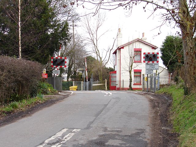
Image: © Penny Mayes Taken: 26 Feb 2007
Level crossing near Colkins http://www.geograph.org.uk/photo/350308. The white double line in the middle of the road is a bit of a joke as the lane is not wide enough to accommodate two vehicles side by side and one could not approach the crossing in a car without crossing the lines. I assume it is a strict 'rule' for highway markings by level crossings.
Images are licensed for reuse under creativecommons.org/licenses/by-sa/2.0
Image Location
Latitude
51.295528
Longitude
0.918361