Car park entrance, Bestwood Country Park
Introduction
The photograph on this page of Car park entrance, Bestwood Country Park by Richard Vince as part of the Geograph project.
The Geograph project started in 2005 with the aim of publishing, organising and preserving representative images for every square kilometre of Great Britain, Ireland and the Isle of Man.

There are currently over 7.5m images from over 14,400 individuals and you can help contribute to the project by visiting https://www.geograph.org.uk
Car park entrance, Bestwood Country Park
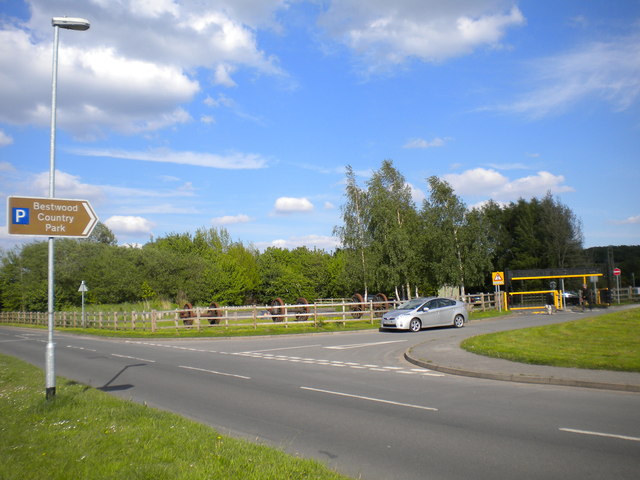
Image: © Richard Vince Taken: 27 May 2013
This car park entrance provides access from Park Road, on the south eastern corner of Bestwood village, to a car park serving Bestwood Country Park. The entrance to Bestwood colliery was here: the colliery winding house, headgear and some other buildings have been preserved (see other pictures in this square), while some of the slagheaps have been landscaped and form part of the country park. The railway wheelsets behind the fence (centre) appear to be from an outside framed 350hp diesel shunter (BR class 08 or one of its LMS designed ancestors).
Images are licensed for reuse under creativecommons.org/licenses/by-sa/2.0
Image Location
Latitude
53.022549
Longitude
-1.173145