Bus turning circle, Park Road, Bestwood village
Introduction
The photograph on this page of Bus turning circle, Park Road, Bestwood village by Richard Vince as part of the Geograph project.
The Geograph project started in 2005 with the aim of publishing, organising and preserving representative images for every square kilometre of Great Britain, Ireland and the Isle of Man.

There are currently over 7.5m images from over 14,400 individuals and you can help contribute to the project by visiting https://www.geograph.org.uk
Bus turning circle, Park Road, Bestwood village
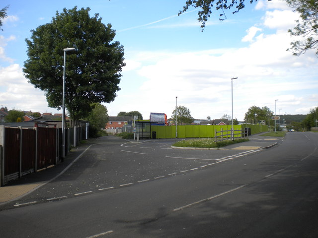
Image: © Richard Vince Taken: 27 May 2013
This turning circle would have been used by buses taking miners to and from the erstwhile colliery (out of frame to the right), which now forms part of Bestwood Country Park. Now, it merely enables buses to serve the south eastern part of the village by doing a double run along Park Road from Moor Road. The narrow lane off the turning circle (centre) provides access to a set of domestic garages. The green panel fence hides a new housing development, which the developers seem keen to avoid being associated with what should be a very convenient bus stop for its residents.
Images are licensed for reuse under creativecommons.org/licenses/by-sa/2.0
Image Location
Latitude
53.022554
Longitude
-1.17389