The road through Ruskington Fen
Introduction
The photograph on this page of The road through Ruskington Fen by Chris as part of the Geograph project.
The Geograph project started in 2005 with the aim of publishing, organising and preserving representative images for every square kilometre of Great Britain, Ireland and the Isle of Man.

There are currently over 7.5m images from over 14,400 individuals and you can help contribute to the project by visiting https://www.geograph.org.uk
The road through Ruskington Fen
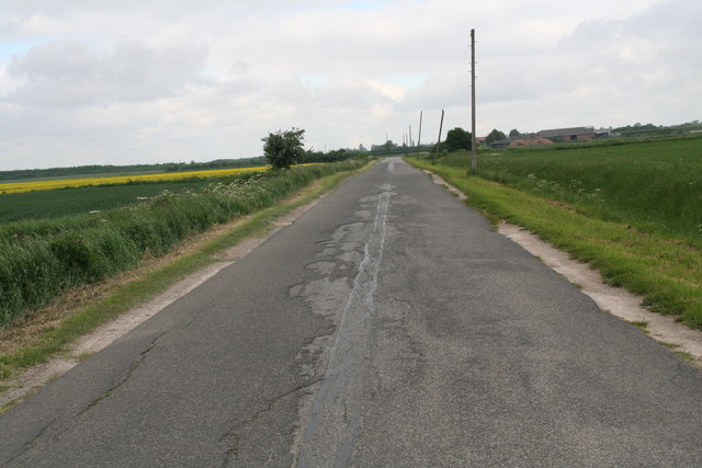
Image: © Chris Taken: 8 Jun 2013
Having heard on the radio that the A153 was closed at Speedway Corner for repairs at the railway bridge, I decided to take the dreaded bumpy road that runs parallel to the A153 behind Anwick. These fen roads have a tendency to subside, and this one has a bad reputation.
Images are licensed for reuse under creativecommons.org/licenses/by-sa/2.0
Image Location


Leaflet Map data © OpenStreetMap
Latitude
53.060611
Longitude
-0.322441