Halton Brook Avenue, Runcorn
Introduction
The photograph on this page of Halton Brook Avenue, Runcorn by Pete Jinks as part of the Geograph project.
The Geograph project started in 2005 with the aim of publishing, organising and preserving representative images for every square kilometre of Great Britain, Ireland and the Isle of Man.

There are currently over 7.5m images from over 14,400 individuals and you can help contribute to the project by visiting https://www.geograph.org.uk
Halton Brook Avenue, Runcorn
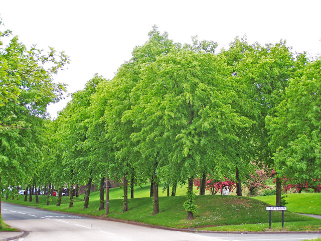
Image: © Pete Jinks Taken: Unknown
The landscaped view created in 1972 upon exiting the now gone traffic-calming chicane to enter the former social housing estate, much of which is now in private ownership. The road layout was remodelled and junction priorities changed in 2012. The chicane served a practical purpose as deterrent to heavy goods vehicles which would struggle with the winding downhill passage further into the estate.
Images are licensed for reuse under creativecommons.org/licenses/by-sa/2.0
Image Location
Latitude
53.331017
Longitude
-2.706594