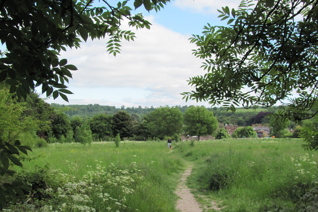
The Dog-walking Area, Goldfield, Tring
Introduction
The photograph on this page of The Dog-walking Area, Goldfield, Tring by Chris Reynolds as part of the Geograph project.
The Geograph project started in 2005 with the aim of publishing, organising and preserving representative images for every square kilometre of Great Britain, Ireland and the Isle of Man.
There are currently over 7.5m images from over 14,400 individuals and you can help contribute to the project by visiting https://www.geograph.org.uk

Image: © Chris Reynolds Taken: 9 Jun 2013
The middle part of Goldfield is a large triangular area where nature is taking over much loved by dog walkers. It was the former playing fields of Osmington School and is designated as a public open area. When the school closed in about the 1970s the school site was developed for housing, but planning permission has never been given for this area. The original boundary fence became broken down and was removed for safety reasons, and young trees are beginning to grow in places round the edges. See view in the other direction taken in 2018 Image shortly after planning permission was given for two houses in this area. The houses in the distance are the former council houses in Goldfield Road and mainly Victorian houses in the "Tring Triangle". Beyond the houses lies the Chiltern escarpment.

