Kerse Lane, Falkirk
Introduction
The photograph on this page of Kerse Lane, Falkirk by Stephen McKay as part of the Geograph project.
The Geograph project started in 2005 with the aim of publishing, organising and preserving representative images for every square kilometre of Great Britain, Ireland and the Isle of Man.

There are currently over 7.5m images from over 14,400 individuals and you can help contribute to the project by visiting https://www.geograph.org.uk
Kerse Lane, Falkirk
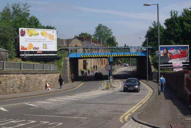
Image: © Stephen McKay Taken: 7 Jun 2013
Looking towards the bridge carrying the railway into Falkirk Grahamston station.
Images are licensed for reuse under creativecommons.org/licenses/by-sa/2.0
Image Location
Latitude
56.001229
Longitude
-3.775039