Woore: southward on the A51 in the middle of the village
Introduction
The photograph on this page of Woore: southward on the A51 in the middle of the village by Ben Brooksbank as part of the Geograph project.
The Geograph project started in 2005 with the aim of publishing, organising and preserving representative images for every square kilometre of Great Britain, Ireland and the Isle of Man.

There are currently over 7.5m images from over 14,400 individuals and you can help contribute to the project by visiting https://www.geograph.org.uk
Woore: southward on the A51 in the middle of the village
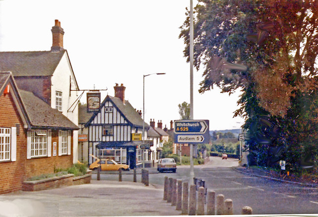
Image: © Ben Brooksbank Taken: 10 Jul 1986
Olde World scene, but this was an extremely busy road before the M6 was built.
Images are licensed for reuse under creativecommons.org/licenses/by-sa/2.0
Image Location
Latitude
52.977544
Longitude
-2.402955