Duckmore Lane Allotments, Tring
Introduction
The photograph on this page of Duckmore Lane Allotments, Tring by Chris Reynolds as part of the Geograph project.
The Geograph project started in 2005 with the aim of publishing, organising and preserving representative images for every square kilometre of Great Britain, Ireland and the Isle of Man.

There are currently over 7.5m images from over 14,400 individuals and you can help contribute to the project by visiting https://www.geograph.org.uk
Duckmore Lane Allotments, Tring
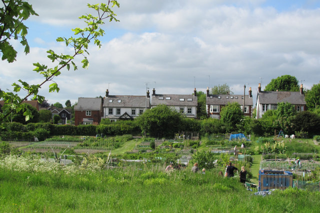
Image: © Chris Reynolds Taken: 9 Jun 2013
Looking across the allotments from the edge of Millennium Wood. The Houses in the distance are on Aylesbury Road, Tring
Images are licensed for reuse under creativecommons.org/licenses/by-sa/2.0
Image Location
Latitude
51.789378
Longitude
-0.675229