Field at the southern edge of Markham
Introduction
The photograph on this page of Field at the southern edge of Markham by Jaggery as part of the Geograph project.
The Geograph project started in 2005 with the aim of publishing, organising and preserving representative images for every square kilometre of Great Britain, Ireland and the Isle of Man.

There are currently over 7.5m images from over 14,400 individuals and you can help contribute to the project by visiting https://www.geograph.org.uk
Field at the southern edge of Markham
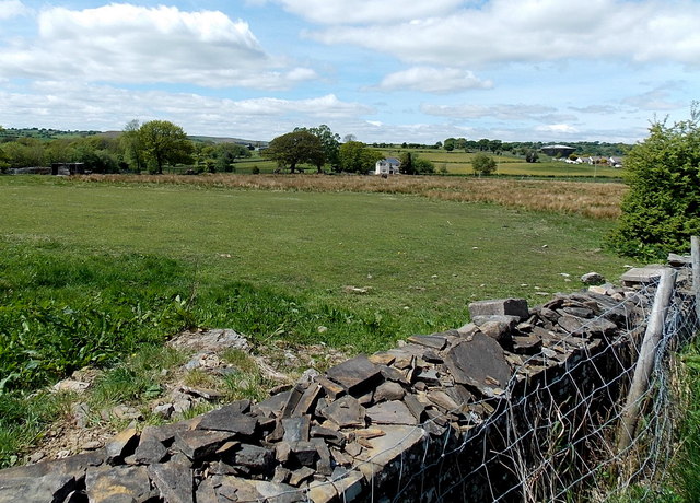
Image: © Jaggery Taken: 1 Jun 2013
Viewed from the road from Bedwellty. The land here is about 300 metres or nearly 1,000 feet above sea level.
Images are licensed for reuse under creativecommons.org/licenses/by-sa/2.0
Image Location
Latitude
51.701419
Longitude
-3.209523