The Acres
Introduction
The photograph on this page of The Acres by Alan Walker as part of the Geograph project.
The Geograph project started in 2005 with the aim of publishing, organising and preserving representative images for every square kilometre of Great Britain, Ireland and the Isle of Man.

There are currently over 7.5m images from over 14,400 individuals and you can help contribute to the project by visiting https://www.geograph.org.uk
The Acres
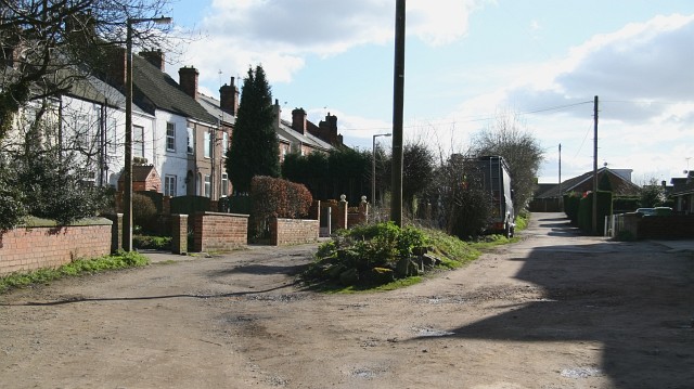
Image: © Alan Walker Taken: 26 Feb 2007
The photograph is a view looking toward the southern end of The Acres, Lower Pilsley. Both ‘tracks’ are the same road, with a central divider, although in this view it is likely that the left hand side is older than the right. For vehicles the road is divided in two by a Image (ahead). The smaller divorced section of Image has vehicular access from Image via a Image For another photograph of The Acres taken from the same viewpoint but looking in the opposite (northerly) direction, click here Image For a more Northerly (behind the viewpoint) photograph of The Acres, click here Image
Images are licensed for reuse under creativecommons.org/licenses/by-sa/2.0
Image Location
Latitude
53.166611
Longitude
-1.373663