Junction, Allerton
Introduction
The photograph on this page of Junction, Allerton by Derek Harper as part of the Geograph project.
The Geograph project started in 2005 with the aim of publishing, organising and preserving representative images for every square kilometre of Great Britain, Ireland and the Isle of Man.

There are currently over 7.5m images from over 14,400 individuals and you can help contribute to the project by visiting https://www.geograph.org.uk
Junction, Allerton
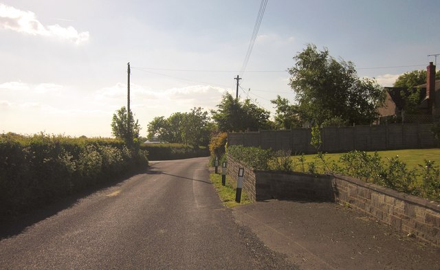
Image: © Derek Harper Taken: 3 Jun 2013
Looking in the other direction from the spot where Image] was taken. The junction is with Rectory Hill, which leads down into Chapel Allerton; straight on is for Stone Allerton. Almost completely hidden behind the tallest tree on the right is the former post office, which closed a few years ago.
Images are licensed for reuse under creativecommons.org/licenses/by-sa/2.0
Image Location
Latitude
51.254732
Longitude
-2.847683