Kingskerswell Health Centre
Introduction
The photograph on this page of Kingskerswell Health Centre by Derek Harper as part of the Geograph project.
The Geograph project started in 2005 with the aim of publishing, organising and preserving representative images for every square kilometre of Great Britain, Ireland and the Isle of Man.

There are currently over 7.5m images from over 14,400 individuals and you can help contribute to the project by visiting https://www.geograph.org.uk
Kingskerswell Health Centre
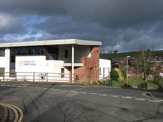
Image: © Derek Harper Taken: 24 Feb 2007
The building, which has won an award for accessibility, was opened in August 2005. It stands at the junction of School Road (left) and Halls Lane (right). Clouds gather behind over Kerswell Hill.
Images are licensed for reuse under creativecommons.org/licenses/by-sa/2.0
Image Location
Latitude
50.499682
Longitude
-3.582533