A.Nichols (Cow Mills) Ltd retail shop, Chipping Sodbury
Introduction
The photograph on this page of A.Nichols (Cow Mills) Ltd retail shop, Chipping Sodbury by Jaggery as part of the Geograph project.
The Geograph project started in 2005 with the aim of publishing, organising and preserving representative images for every square kilometre of Great Britain, Ireland and the Isle of Man.

There are currently over 7.5m images from over 14,400 individuals and you can help contribute to the project by visiting https://www.geograph.org.uk
A.Nichols (Cow Mills) Ltd retail shop, Chipping Sodbury
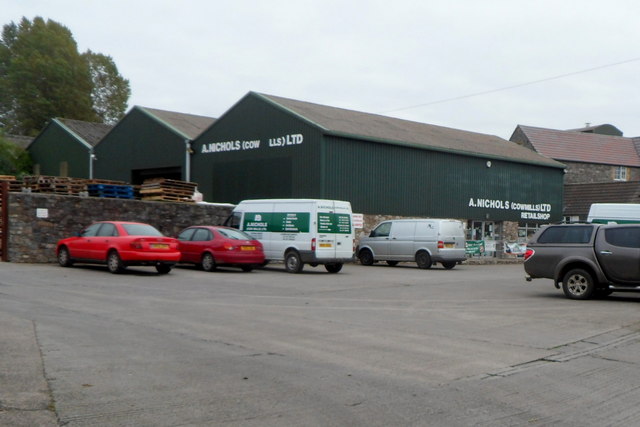
Image: © Jaggery Taken: 10 Oct 2012
Viewed from the A4060 Station Road near the point where the A4060 becomes Bowling Hill. The business's website states that the shop caters for every need farmers and pet owners may have, from wellingtons to pet food, and outdoor clothing to anthracite.
Images are licensed for reuse under creativecommons.org/licenses/by-sa/2.0
Image Location


Leaflet Map data © OpenStreetMap
Latitude
51.539449
Longitude
-2.402376