Northern end of Bowling Green Lane
Introduction
The photograph on this page of Northern end of Bowling Green Lane by Peter Whatley as part of the Geograph project.
The Geograph project started in 2005 with the aim of publishing, organising and preserving representative images for every square kilometre of Great Britain, Ireland and the Isle of Man.

There are currently over 7.5m images from over 14,400 individuals and you can help contribute to the project by visiting https://www.geograph.org.uk
Northern end of Bowling Green Lane
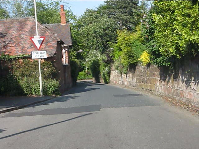
Image: © Peter Whatley Taken: 8 Jun 2013
A narrow part of the road presumably reflects an older road layout before the area was laid out with extensive housing estates.
Images are licensed for reuse under creativecommons.org/licenses/by-sa/2.0
Image Location
Latitude
52.637812
Longitude
-2.285597