Maxfield and Well Field
Introduction
The photograph on this page of Maxfield and Well Field by Simon Carey as part of the Geograph project.
The Geograph project started in 2005 with the aim of publishing, organising and preserving representative images for every square kilometre of Great Britain, Ireland and the Isle of Man.

There are currently over 7.5m images from over 14,400 individuals and you can help contribute to the project by visiting https://www.geograph.org.uk
Maxfield and Well Field
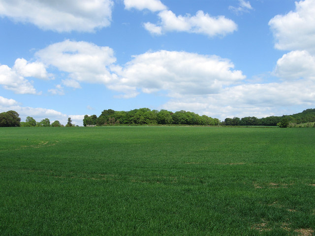
Image: © Simon Carey Taken: 2 Jun 2013
The name of the field according to Findon's 1839 tithe map which was given two names to cover just one field on that survey which obviously suggests that it was previously two. A set of cottages at the western end on Findon Road have been named after the field they were built on.
Images are licensed for reuse under creativecommons.org/licenses/by-sa/2.0
Image Location
Latitude
50.858556
Longitude
-0.399845