Findon By-Pass
Introduction
The photograph on this page of Findon By-Pass by Simon Carey as part of the Geograph project.
The Geograph project started in 2005 with the aim of publishing, organising and preserving representative images for every square kilometre of Great Britain, Ireland and the Isle of Man.

There are currently over 7.5m images from over 14,400 individuals and you can help contribute to the project by visiting https://www.geograph.org.uk
Findon By-Pass
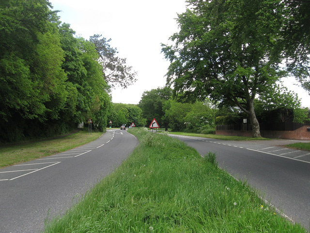
Image: © Simon Carey Taken: 2 Jun 2013
Built in 1938 to take motor traffic away from the village's narrow lanes. This section actually uses the course of the old High Street and looks towards the junction s with Cross lane and Nepcote.
Images are licensed for reuse under creativecommons.org/licenses/by-sa/2.0
Image Location
Latitude
50.861319
Longitude
-0.404581