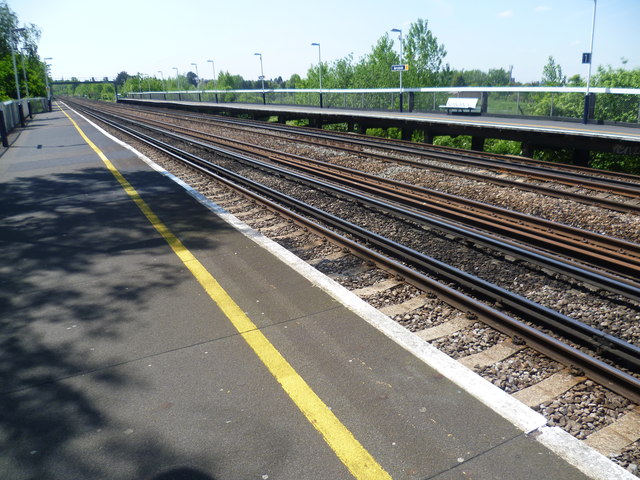
Berrylands station
Introduction
The photograph on this page of Berrylands station by Marathon as part of the Geograph project.
The Geograph project started in 2005 with the aim of publishing, organising and preserving representative images for every square kilometre of Great Britain, Ireland and the Isle of Man.
There are currently over 7.5m images from over 14,400 individuals and you can help contribute to the project by visiting https://www.geograph.org.uk

Image: © Marathon Taken: 5 Jun 2013
In 1834 an Act for building a railway between London and Southampton received Royal Assent. Local councillors in Kingston, coupled with the coaching interests and Lord Cottenham, owner of much of the land between Kingston and Wimbledon, objected to the railway running through the town, and so the railway was forced to pass a mile and a half to the south. A station opened in 1838 at what was then called “Kingston New Town” or, from 1841, “Kingston-on-Railway”. This was subsequently named Surbiton. The next station up the line, Berrylands only opened in 1933, maps from early in the 20th century showing the area around the station as farmland. It is high up above the surrounding roads and has fast tracks through the middle. This view is from the down platform looking towards Surbiton.

