Airey Houses in Billinghay
Introduction
The photograph on this page of Airey Houses in Billinghay by Chris as part of the Geograph project.
The Geograph project started in 2005 with the aim of publishing, organising and preserving representative images for every square kilometre of Great Britain, Ireland and the Isle of Man.

There are currently over 7.5m images from over 14,400 individuals and you can help contribute to the project by visiting https://www.geograph.org.uk
Airey Houses in Billinghay
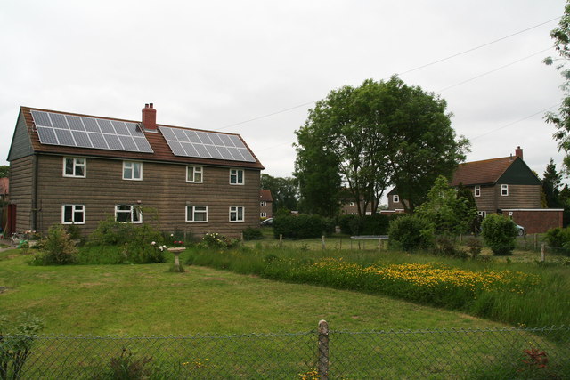
Image: © Chris Taken: 8 Jun 2013
We always knew these as "pre-fabs". Airey houses were built after WW2 in rural areas as a solution to the poor condition of much of the housing stock outside Britain's conurbations. This was due to the 1930s depression followed by wartime neglect. Note the solar panels on the roof. See: http://en.wikipedia.org/wiki/Airey_house
Images are licensed for reuse under creativecommons.org/licenses/by-sa/2.0
Image Location
Latitude
53.080061
Longitude
-0.29302