Leitchland Farm and Flatterton Farm
Introduction
The photograph on this page of Leitchland Farm and Flatterton Farm by Thomas Nugent as part of the Geograph project.
The Geograph project started in 2005 with the aim of publishing, organising and preserving representative images for every square kilometre of Great Britain, Ireland and the Isle of Man.

There are currently over 7.5m images from over 14,400 individuals and you can help contribute to the project by visiting https://www.geograph.org.uk
Leitchland Farm and Flatterton Farm
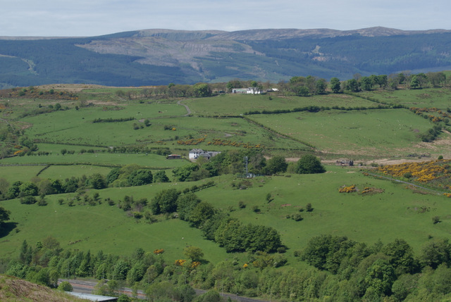
Image: © Thomas Nugent Taken: 2 Jun 2013
Leitchland is at the top of the hill. Viewed across Spango Valley from the Greenock Cut. The hill in the distance is across the Firth of Clyde at Dunoon. See my geograph article for detail of the cut http://www.geograph.org.uk/article/The-Greenock-Cut .
Images are licensed for reuse under creativecommons.org/licenses/by-sa/2.0
Image Location
Latitude
55.931963
Longitude
-4.831106