Sunningwell Road, Oxford, 1987
Introduction
The photograph on this page of Sunningwell Road, Oxford, 1987 by Christopher Hilton as part of the Geograph project.
The Geograph project started in 2005 with the aim of publishing, organising and preserving representative images for every square kilometre of Great Britain, Ireland and the Isle of Man.

There are currently over 7.5m images from over 14,400 individuals and you can help contribute to the project by visiting https://www.geograph.org.uk
Sunningwell Road, Oxford, 1987
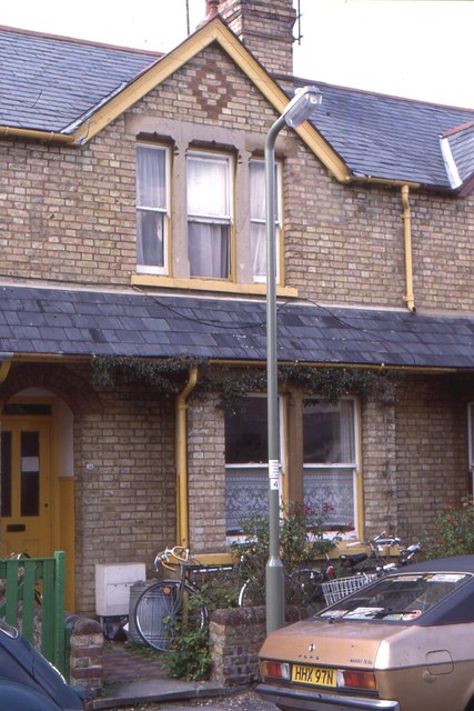
Image: © Christopher Hilton Taken: 29 Jun 1987
A student shared house (taken the day before I moved out of it). The back garden appears in Image and Image
Images are licensed for reuse under creativecommons.org/licenses/by-sa/2.0
Image Location
Latitude
51.737015
Longitude
-1.253287