Footpath to Redburrow Lane
Introduction
The photograph on this page of Footpath to Redburrow Lane by Mat Fascione as part of the Geograph project.
The Geograph project started in 2005 with the aim of publishing, organising and preserving representative images for every square kilometre of Great Britain, Ireland and the Isle of Man.

There are currently over 7.5m images from over 14,400 individuals and you can help contribute to the project by visiting https://www.geograph.org.uk
Footpath to Redburrow Lane
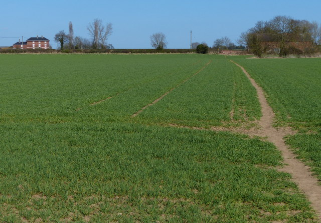
Image: © Mat Fascione Taken: 20 Apr 2013
The house on the left is at Normanton Lodge Farm, Tie Barn is behind the trees on the right.
Images are licensed for reuse under creativecommons.org/licenses/by-sa/2.0
Image Location
Latitude
52.710739
Longitude
-1.461323