Field boundary
Introduction
The photograph on this page of Field boundary by Alan Hunt as part of the Geograph project.
The Geograph project started in 2005 with the aim of publishing, organising and preserving representative images for every square kilometre of Great Britain, Ireland and the Isle of Man.

There are currently over 7.5m images from over 14,400 individuals and you can help contribute to the project by visiting https://www.geograph.org.uk
Field boundary
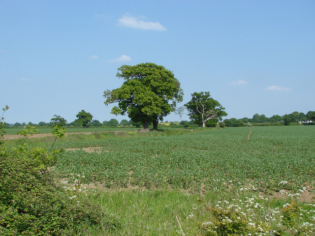
Image: © Alan Hunt Taken: 6 Jun 2013
The large arable fields in his area are separated by shallow banks or fallow strips with old oaks marking the line.
Images are licensed for reuse under creativecommons.org/licenses/by-sa/2.0
Image Location
Latitude
51.471512
Longitude
-0.698853