Glan Aber
Introduction
The photograph on this page of Glan Aber by Jonathan Wilkins as part of the Geograph project.
The Geograph project started in 2005 with the aim of publishing, organising and preserving representative images for every square kilometre of Great Britain, Ireland and the Isle of Man.

There are currently over 7.5m images from over 14,400 individuals and you can help contribute to the project by visiting https://www.geograph.org.uk
Glan Aber
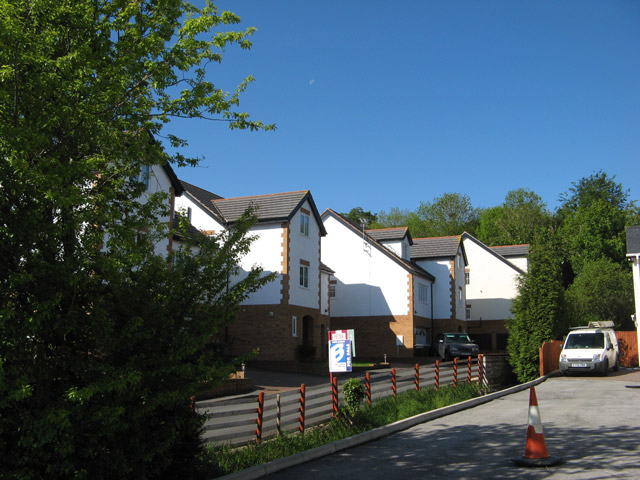
Image: © Jonathan Wilkins Taken: 31 May 2013
Bold, angular shapes in this new, opportunistic development off Ffordd y Mynydd. The word "executive" on the sales board says it all really. The old mill stream is now rather hemmed in between two access roads, I just hope it behaves itself.
Images are licensed for reuse under creativecommons.org/licenses/by-sa/2.0
Image Location
Latitude
53.246951
Longitude
-3.639945