Gilcomston Steps, Aberdeen
Introduction
The photograph on this page of Gilcomston Steps, Aberdeen by Bill Harrison as part of the Geograph project.
The Geograph project started in 2005 with the aim of publishing, organising and preserving representative images for every square kilometre of Great Britain, Ireland and the Isle of Man.

There are currently over 7.5m images from over 14,400 individuals and you can help contribute to the project by visiting https://www.geograph.org.uk
Gilcomston Steps, Aberdeen
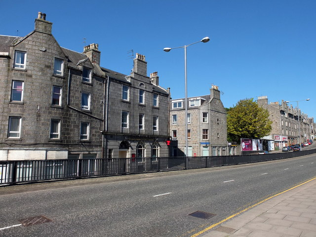
Image: © Bill Harrison Taken: 25 May 2013
The lanes of the dual carriageway (the B986) run at slightly different levels. Across the road is The Gilcomston Arms and the junction with Baker Street. 1878 appears on the date stone of the slightly curved facade to the left.
Images are licensed for reuse under creativecommons.org/licenses/by-sa/2.0
Image Location


Leaflet Map data © OpenStreetMap
Latitude
57.149966
Longitude
-2.107247