Radclive - War Memorial in churchyard
Introduction
The photograph on this page of Radclive - War Memorial in churchyard by Rob Farrow as part of the Geograph project.
The Geograph project started in 2005 with the aim of publishing, organising and preserving representative images for every square kilometre of Great Britain, Ireland and the Isle of Man.

There are currently over 7.5m images from over 14,400 individuals and you can help contribute to the project by visiting https://www.geograph.org.uk
Radclive - War Memorial in churchyard
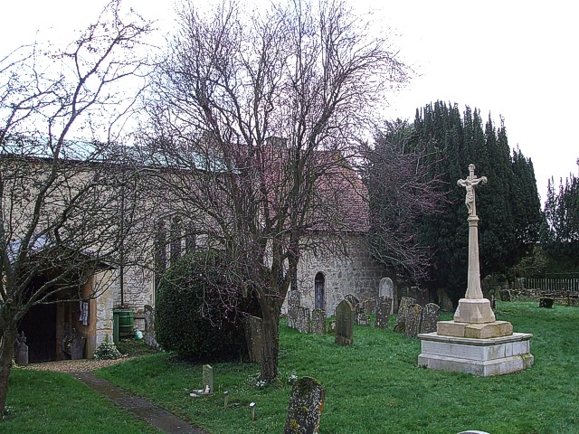
Image: © Rob Farrow Taken: 23 Feb 2007
The War Memorial seen here on the right of the photo is in the churchyard to the south of Image The red tiled part of the church is the chancel, while the lighter roofed section is the nave. The Image] can be seen at the left of the image. The photo was taken from just in front of Image
Images are licensed for reuse under creativecommons.org/licenses/by-sa/2.0
Image Location
Latitude
51.99953
Longitude
-1.017178