
The North East end of Banner Down Byway
Introduction
The photograph on this page of The North East end of Banner Down Byway by James Ayres as part of the Geograph project.
The Geograph project started in 2005 with the aim of publishing, organising and preserving representative images for every square kilometre of Great Britain, Ireland and the Isle of Man.

There are currently over 7.5m images from over 14,400 individuals and you can help contribute to the project by visiting https://www.geograph.org.uk
The North East end of Banner Down Byway
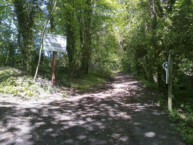
Image: © James Ayres Taken: 1 Jun 2013
The Byway Open to All Traffic that climbs up towards Banner Down from Batheaston ends here although the track continues to the top of the hill as a bridleway and footpath. The large sign erected by The Batheaston Freeholders Association confirms there is no legal access beyond this point for motor propelled vehicles. The track follows the line of the original Fosse Way.
Images are licensed for reuse under creativecommons.org/licenses/by-sa/2.0
Image Location

Latitude
51.41206
Longitude
-2.305926