Patching's Farm
Introduction
The photograph on this page of Patching's Farm by Tom Courtney as part of the Geograph project.
The Geograph project started in 2005 with the aim of publishing, organising and preserving representative images for every square kilometre of Great Britain, Ireland and the Isle of Man.

There are currently over 7.5m images from over 14,400 individuals and you can help contribute to the project by visiting https://www.geograph.org.uk
Patching's Farm
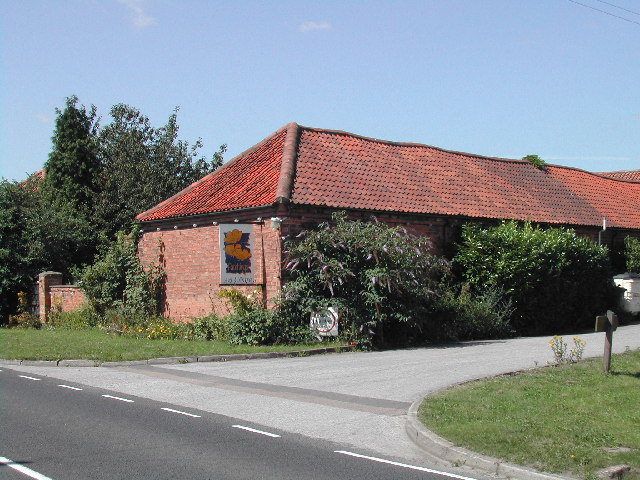
Image: © Tom Courtney Taken: 8 Aug 2005
An arts and crafts centre on the B6386 just outside Calverton
Images are licensed for reuse under creativecommons.org/licenses/by-sa/2.0
Image Location
Latitude
53.042603
Longitude
-1.111906