Junction of the Nutt's Corner Rd and Manse Rd
Introduction
The photograph on this page of Junction of the Nutt's Corner Rd and Manse Rd by Robert Ashby as part of the Geograph project.
The Geograph project started in 2005 with the aim of publishing, organising and preserving representative images for every square kilometre of Great Britain, Ireland and the Isle of Man.

There are currently over 7.5m images from over 14,400 individuals and you can help contribute to the project by visiting https://www.geograph.org.uk
Junction of the Nutt's Corner Rd and Manse Rd
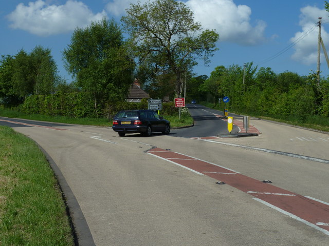
Image: © Robert Ashby Taken: 5 Jun 2013
The Nutt's Corner Road forks left to Crumlin and the Manse Road to the right ending up at Langford Lodge, former wartime airfield now home to an engineering company. This junction is located on a bad bend and has been surfaced with an anti-skid surface.
Images are licensed for reuse under creativecommons.org/licenses/by-sa/2.0
Image Location
Latitude
54.631722
Longitude
-6.193003