Crops under plastic sheeting, south of Pictstonhill
Introduction
The photograph on this page of Crops under plastic sheeting, south of Pictstonhill by Rob Burke as part of the Geograph project.
The Geograph project started in 2005 with the aim of publishing, organising and preserving representative images for every square kilometre of Great Britain, Ireland and the Isle of Man.

There are currently over 7.5m images from over 14,400 individuals and you can help contribute to the project by visiting https://www.geograph.org.uk
Crops under plastic sheeting, south of Pictstonhill
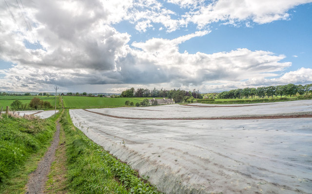
Image: © Rob Burke Taken: 1 Jun 2013
The crops are covered by a large area of plastic sheet. The cottages of Langley can be seen in the distance. (This is a wide angle picture, so they are closer than the appear.)
Images are licensed for reuse under creativecommons.org/licenses/by-sa/2.0
Image Location
Latitude
56.40983
Longitude
-3.401243