Flooded gravel pit near Wey Manor Farm
Introduction
The photograph on this page of Flooded gravel pit near Wey Manor Farm by Derek Harper as part of the Geograph project.
The Geograph project started in 2005 with the aim of publishing, organising and preserving representative images for every square kilometre of Great Britain, Ireland and the Isle of Man.

There are currently over 7.5m images from over 14,400 individuals and you can help contribute to the project by visiting https://www.geograph.org.uk
Flooded gravel pit near Wey Manor Farm
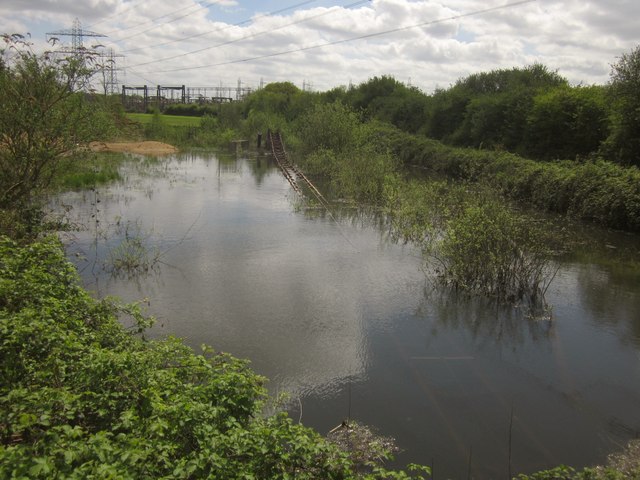
Image: © Derek Harper Taken: 10 May 2013
Looking to the left from the spot where Image] was taken, across the flooded pit shown in Image In the background is an electricity switching station.
Images are licensed for reuse under creativecommons.org/licenses/by-sa/2.0
Image Location
Latitude
51.356569
Longitude
-0.480218