Peak Dale: phone box at Upper End
Introduction
The photograph on this page of Peak Dale: phone box at Upper End by Chris Downer as part of the Geograph project.
The Geograph project started in 2005 with the aim of publishing, organising and preserving representative images for every square kilometre of Great Britain, Ireland and the Isle of Man.

There are currently over 7.5m images from over 14,400 individuals and you can help contribute to the project by visiting https://www.geograph.org.uk
Peak Dale: phone box at Upper End
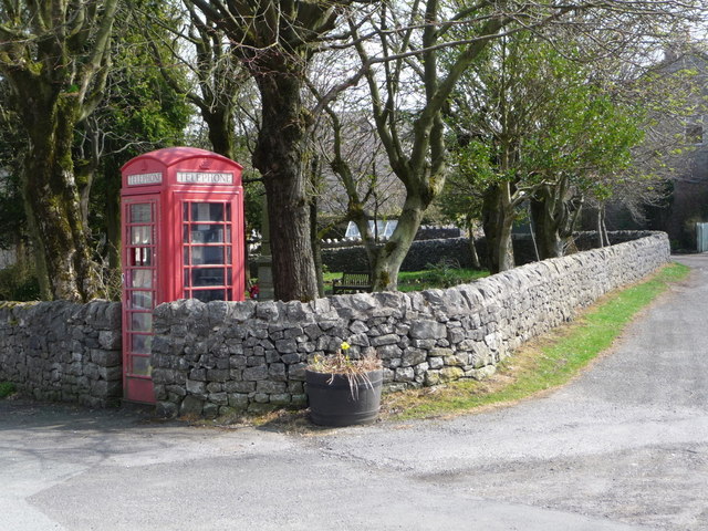
Image: © Chris Downer Taken: 2 May 2013
A traditional red phone box interrupts the wall of the little green alongside Upper End Road. The war memorial can just be seen behind the box, partially obscured by the tree.
Images are licensed for reuse under creativecommons.org/licenses/by-sa/2.0
Image Location
Latitude
53.282521
Longitude
-1.867524