Paths in Garrawy Glen
Introduction
The photograph on this page of Paths in Garrawy Glen by Lairich Rig as part of the Geograph project.
The Geograph project started in 2005 with the aim of publishing, organising and preserving representative images for every square kilometre of Great Britain, Ireland and the Isle of Man.

There are currently over 7.5m images from over 14,400 individuals and you can help contribute to the project by visiting https://www.geograph.org.uk
Paths in Garrawy Glen
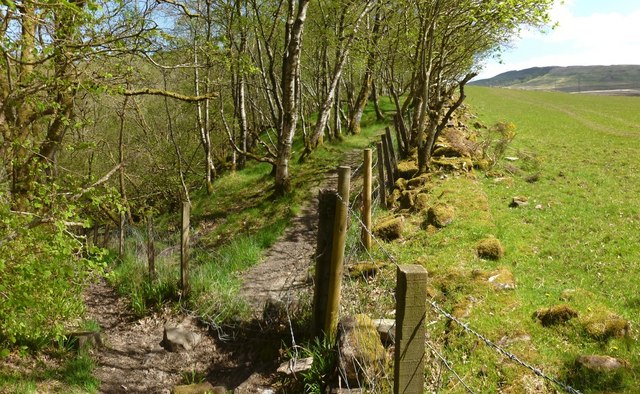
Image: © Lairich Rig Taken: 22 May 2013
At this point the main path, a continuation of the one shown in Image, changes direction at the corner of a field (see the map); it is shown on the right here, continuing alongside the fence; note the remains of an old dry-stone wall. The path on the left leads down into the glen, to the burn, but no further than that: Image
Images are licensed for reuse under creativecommons.org/licenses/by-sa/2.0
Image Location
Latitude
56.011415
Longitude
-4.703423