Path in Garrawy Glen
Introduction
The photograph on this page of Path in Garrawy Glen by Lairich Rig as part of the Geograph project.
The Geograph project started in 2005 with the aim of publishing, organising and preserving representative images for every square kilometre of Great Britain, Ireland and the Isle of Man.

There are currently over 7.5m images from over 14,400 individuals and you can help contribute to the project by visiting https://www.geograph.org.uk
Path in Garrawy Glen
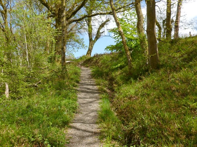
Image: © Lairich Rig Taken: 22 May 2013
This part of the path is near the edge of the woods; the boundary between the woods and the adjacent field is at the top of the slope on the right.
Images are licensed for reuse under creativecommons.org/licenses/by-sa/2.0
Image Location
Latitude
56.010776
Longitude
-4.70386