Goldburn Cross
Introduction
The photograph on this page of Goldburn Cross by David Smith as part of the Geograph project.
The Geograph project started in 2005 with the aim of publishing, organising and preserving representative images for every square kilometre of Great Britain, Ireland and the Isle of Man.

There are currently over 7.5m images from over 14,400 individuals and you can help contribute to the project by visiting https://www.geograph.org.uk
Goldburn Cross
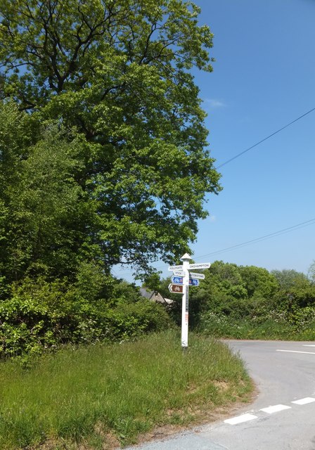
Image: © David Smith Taken: 5 Jun 2013
The woodland on the left is Goldburnhill Covert, the northern edge of Abbeyford Woods. The crossroads is on the Tarka Trail and NCN27
Images are licensed for reuse under creativecommons.org/licenses/by-sa/2.0
Image Location


Leaflet Map data © OpenStreetMap
Latitude
50.767361
Longitude
-4.001675