Two cycle route signs at West Hook, Okehampton
Introduction
The photograph on this page of Two cycle route signs at West Hook, Okehampton by David Smith as part of the Geograph project.
The Geograph project started in 2005 with the aim of publishing, organising and preserving representative images for every square kilometre of Great Britain, Ireland and the Isle of Man.

There are currently over 7.5m images from over 14,400 individuals and you can help contribute to the project by visiting https://www.geograph.org.uk
Two cycle route signs at West Hook, Okehampton
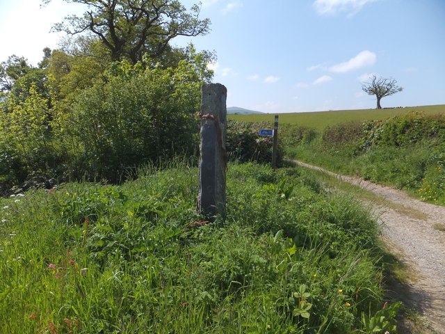
Image: © David Smith Taken: 5 Jun 2013
In the background, by the side of the Tarka Trail, there is a sign for NCN7; the granite post is for a recreational route in the hills north of Okehampton
Images are licensed for reuse under creativecommons.org/licenses/by-sa/2.0
Image Location
Latitude
50.750069
Longitude
-4.003063