End of the 20mph zone along Heol-y-felin Aberbargoed
Introduction
The photograph on this page of End of the 20mph zone along Heol-y-felin Aberbargoed by Jaggery as part of the Geograph project.
The Geograph project started in 2005 with the aim of publishing, organising and preserving representative images for every square kilometre of Great Britain, Ireland and the Isle of Man.

There are currently over 7.5m images from over 14,400 individuals and you can help contribute to the project by visiting https://www.geograph.org.uk
End of the 20mph zone along Heol-y-felin Aberbargoed
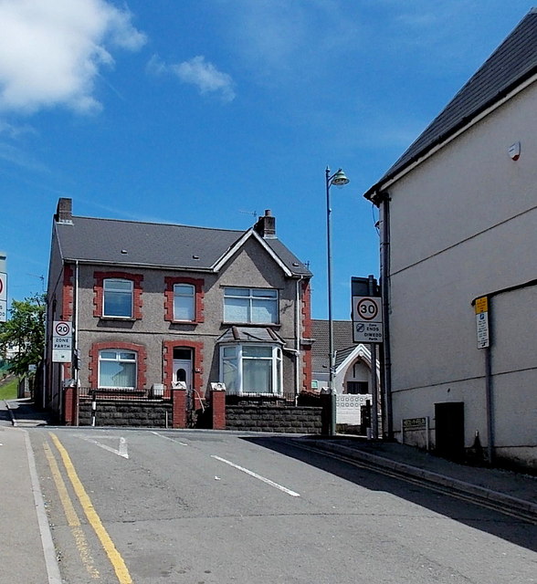
Image: © Jaggery Taken: 1 Jun 2013
The 20mph speed limit in the vicinity of the village primary school http://www.geograph.org.uk/photo/3496309 increases to 30mph along Commercial Street ahead, though it reduces to 20mph again along Pant Street ahead on the left.
Images are licensed for reuse under creativecommons.org/licenses/by-sa/2.0
Image Location
Latitude
51.693713
Longitude
-3.22422